Orthomosaic Package
Starting at
$650
One accessible site up to five acres. Includes one capture appointment, processed overhead imagery, a GeoTIFF file, and a PDF preview. Final scope and pricing confirmed before booking.
Request This Package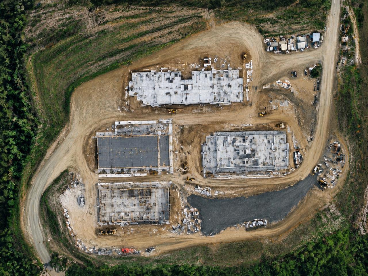
Mapping · 3D models
Document current site conditions, compare construction progress, and give your team a clearer view of the work. Choose detailed overhead imagery or visual 3D models, with deliverables tailored to your project.
Background: AI-created demonstration, not a client project
Sample deliverables
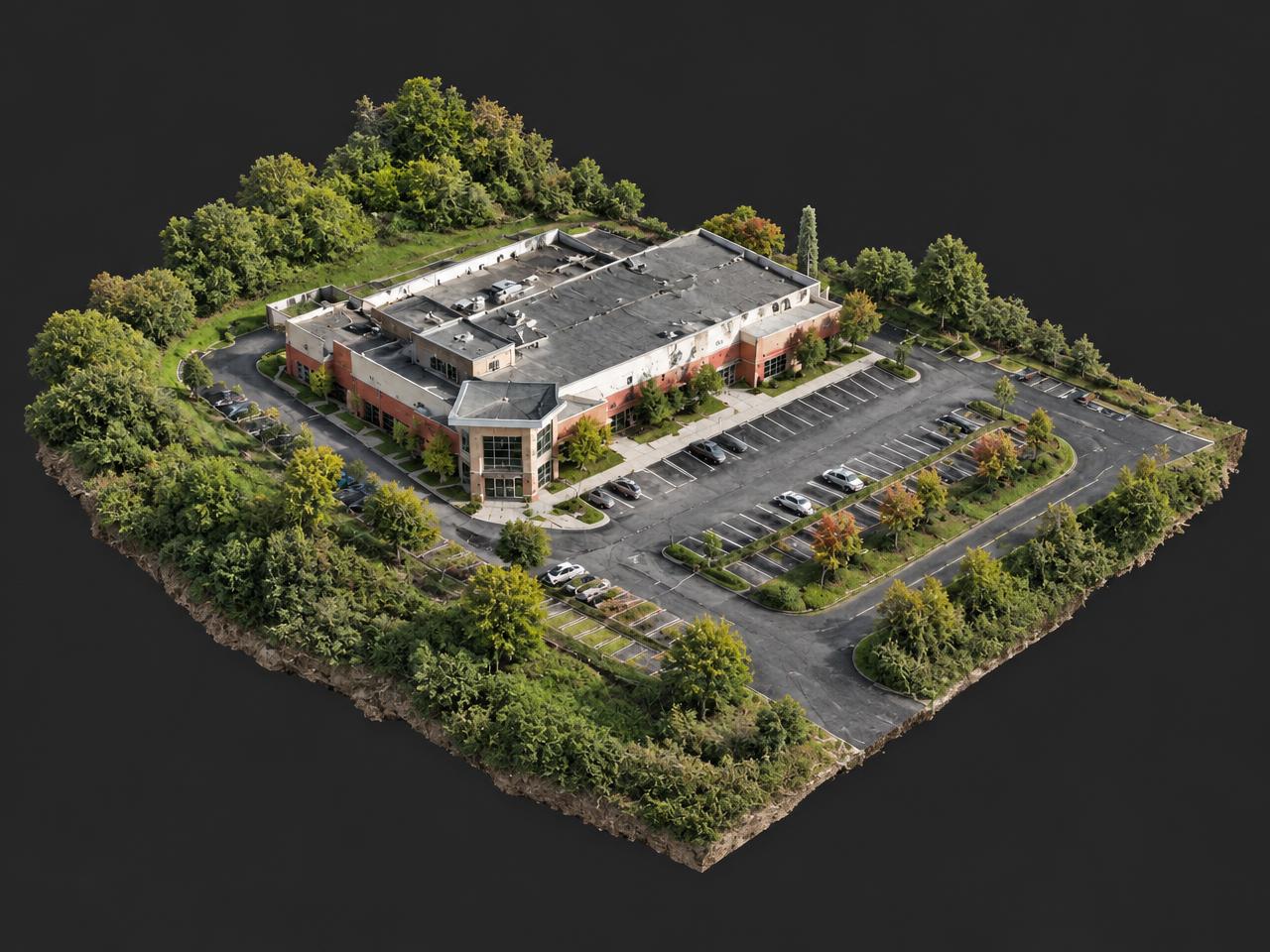
These AI-created demonstration previews illustrate each deliverable. They are not completed client projects, processed client data or interactive models.
Demonstration previewA detailed overhead view of your site, captured on your schedule.
 Demonstration preview
Explore the visible exterior of your building or site from multiple angles.
Mapping packages
Packages provide visual deliverables. They do not include verified survey points, certified elevations, engineering analysis, BIM models or finished Civil 3D surfaces.
Starting at
$650
One accessible site up to five acres. Includes one capture appointment, processed overhead imagery, a GeoTIFF file, and a PDF preview. Final scope and pricing confirmed before booking.
Request This PackageStarting at
$950
One small, accessible building exterior or simple site. Includes a textured exterior model in an agreed file format and preview images. Final pricing depends on building size, height, complexity, access, and required cleanup.
Request This PackageChoose the right service
Selected aerial photos and an edited video documenting visible project progress.
Best for
Owner updates and project records
Overlapping aerial images processed into a detailed overhead site image.
Best for
A top-down view of the whole site
A reconstructed model showing visible exterior surfaces and shapes.
Best for
Seeing a building or site from many angles
Separately scoped work that requires discussion of intended use, accuracy, control, verification, file formats and any required licensed professional involvement.
Best for
Projects where measurements matter
Recurring documentation
Capture baseline site conditions.
Document progress weekly, monthly or at agreed milestones.
Capture updated maps or models when separately commissioned.
Deliver final imagery and an organized visual history.
One-time visit
$275
per visit
6–11 scheduled visits
$249
per visit
12+ scheduled visits
$229
per visit
Each standard progress visit includes
Mapping and 3D model processing are priced separately, with timing confirmed in the project scope.
How it works
Provide the location, approximate size, intended use and preferred schedule.
Review access, flight feasibility, deliverables, pricing and timing.
Collect imagery and prepare the agreed outputs.
Receive organized files in the agreed formats.
Flights depend on weather, site access and applicable airspace requirements.
Who you’ll work with
Peris Taylor brings civil engineering studies and construction inspection experience to aerial documentation for projects throughout Greater Cleveland.
Coming soon
Genuine sample deliverables and a sample delivery-folder preview will appear here once approved for publication.