About
Clear, useful project information.
Dependable scheduling, organized files and straightforward pricing — from someone who studies how sites get built.
Peris Taylor · Founder & Remote Pilot
Hi, I'm Peris.
I'm a civil engineering student with construction inspection experience.
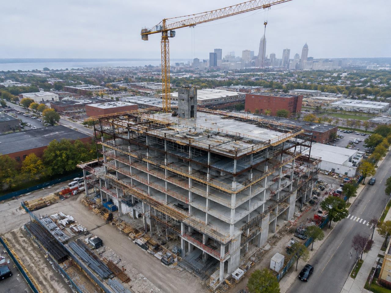
I provide aerial construction documentation for contractors, developers, architects and property owners throughout Greater Cleveland. My service gives your team an organized visual record of the project — from initial site conditions and earthwork through structural construction and final completion.
For projects needing mapping or CAD data, we first define the intended use, required accuracy, coordinate system and professional oversight. Those deliverables are scoped separately from the standard photography package.
Quality, made measurable
What “top quality” means here
Consistent capture
Comparable viewpoints between visits
Clear imagery
Sharp, usable photos with consistent exposure and color
Useful coverage
Images showing the agreed project areas
Organized delivery
Files named by project and date
Dependable turnaround
Delivery within the agreed window
Professional communication
Confirmation before arrival and prompt weather updates
Controlled revisions
A clear process for correcting or refining the delivery
Documented accuracy
For measurement work, an agreed verification method and results
Confidentiality
Client approval before portfolio or public use
What we capture
Visible-light documentation & photogrammetry
We capture high-resolution aerial photos, video and overlapping image sets for photogrammetry. We don't offer thermal imaging or LiDAR scanning. When you need reliable absolute coordinates, measured ground control is part of the scope.
What we won't promise
- “Perfect accuracy”
- “Every defect detected”
- “Guaranteed weather availability”
- “Survey-grade” data without a defined, verified basis